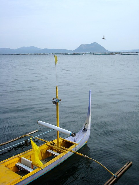
The boat knifed across the lake, sending a steady spray of water over the gunwales and drenching the two passengers huddled near the rear. Gradually, the hazy gray shape I'd seen in the distance became a landmass, and my girlfriend and I would soon reach its shore. Up ahead, at the water's edge, other small, colorful boats waited for the return of their captains like dogs leashed outside a bodega. Beyond the rickety docks, a large sign welcomed new arrivals to Taal Lake and drab single-storey buildings clustered together to form some semblance of a town. Before long, we hoped, we'd be staring down into the beating heart of this volcanic island.
What we didn't know at the time was that Taal is one of the most active volcanoes in the Philippines, and one of the most destructive. In 1911, one hundred years before our visit, a massive eruption killed more than a thousand people and caused extensive damage to surrounding areas in the province of Batangas. We had been drawn here by a geographic oddity: an island on a lake inside an island on a lake. Roughly five kilometers across, Volcano Island is essentially a collection of craters and cones created by over 30 eruptions since 1572, when Father Gaspar de San Augustin wrote "there is a volcano of fire which is wont to spit forth many and very large rocks, which are glowing and destroy the crops of the natives." The island has grown in size by 25% in the centuries since this first account, and to reach it, travelers must cross Taal Lake, a body of water that is itself a caldera, or massive crater.
For 1,500 pesos (about $35) we had been brought this far from the bus stop in Tagaytay. Upon landing, the third passenger on our boat—a native of the island's village—explained that we would need to pay several hundred pesos more to rent scrawny ponies to carry us up the side of the volcano. And that was in addition to the tourist's fee of 50 pesos per person. The young women staffing the welcome center reiterated the supposed terms of entrance to us again, but eventually gave up when we kept insisting on hiking to the top. Although my girlfriend and I knew little about the volcano's history, we were well aware that several paths led to the edge of the smaller of the two crater lakes.
Given that it was already late afternoon, we chose to follow the Daang Kastila Trail, the busiest and most direct route to the center of the island. Ticket stubs in hand, we walked back outside and proceeded up the dusty track to the summit. Moving past a small corral, we followed a train of ponies through the village where dogs, chickens, and children scrambled to get out of the way of oncoming traffic. No signs marked the trail, but it wasn't difficult to find—groups of mounted tourists trotted by regularly, busily texting friends or twisting in their saddles to snap a photo during their bumpy descent. We completed the climb in less than an hour, and fortunately managed to time our return trip with the sunset.
As eerie as it was to feel heat radiating from beneath my boots and to catch the occasional whiff of sulfur on the breeze, I'm glad to have hiked Daang Kastila, especially when I did. According to the Philippine Institute of Volcanology and Seismology, Taal has recently experienced a series of volcanic earthquakes and the crater lake has become more acidic, even as its temperature has risen by nearly four degrees Fahrenheit. As of last week, Volcano Island was off limits to tourists. Before making your own plans to undertake a volcano hike in the Philippines, be sure to consult the Department of Tourism's website for relevant travel advisories.


No comments:
Post a Comment